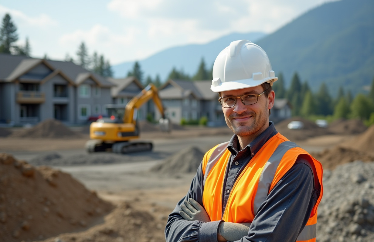
A geohazard survey is a crucial investigative process to identify and assess potential geohazards that could impact a specific site or area. These hazards include natural events like landslides, earthquakes, flooding, and erosion, which can pose significant risks to infrastructure, property, and human life. In a region like British Columbia (BC), where diverse terrains and geological activity are prevalent, conducting a geohazard assessment survey is essential in planning and executing any construction or development project.
Purpose of a Geohazard Survey
A geohazard survey’s primary purpose is to ensure a site’s safety and stability by identifying potential risks early in the planning process. This proactive approach allows engineers, developers, and planners to make informed decisions about site selection, design, and construction, ultimately reducing the risk of geohazard-related damage and costly repairs.
Are you looking for a Geohazard Survey? Please Contact Us.
Key Components of a Geohazard Survey
A comprehensive geohazard survey typically involves several key components:
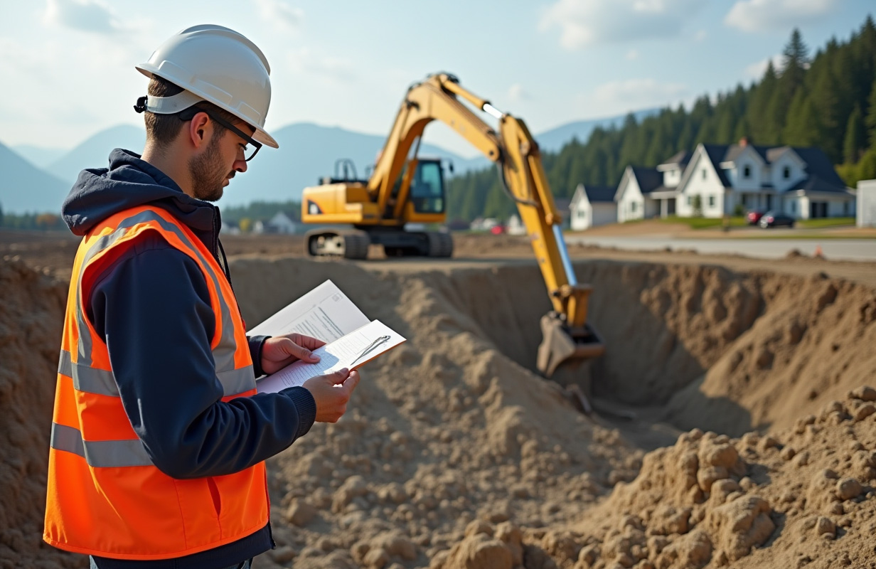
- Site Investigation: The survey thoroughly investigates the site’s geological, hydrological, and environmental conditions. This includes analyzing soil composition, rock formations, groundwater levels, and existing vegetation.
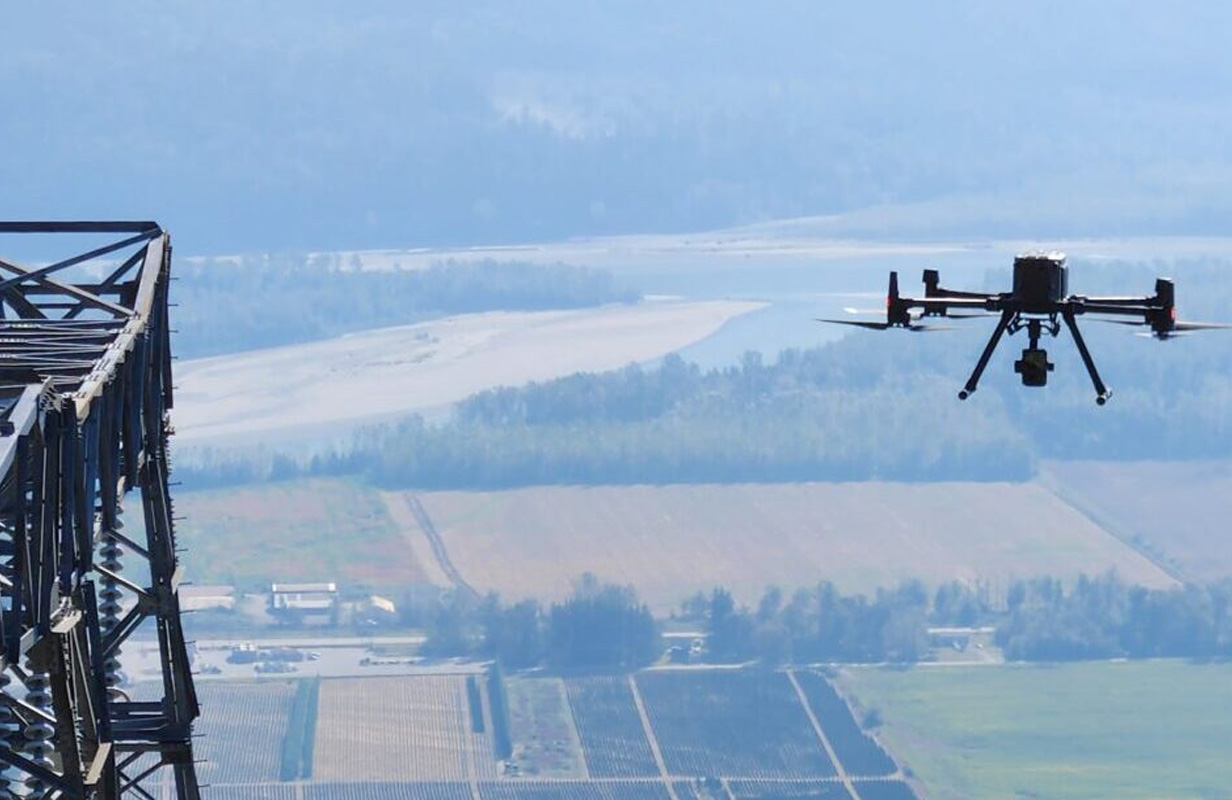
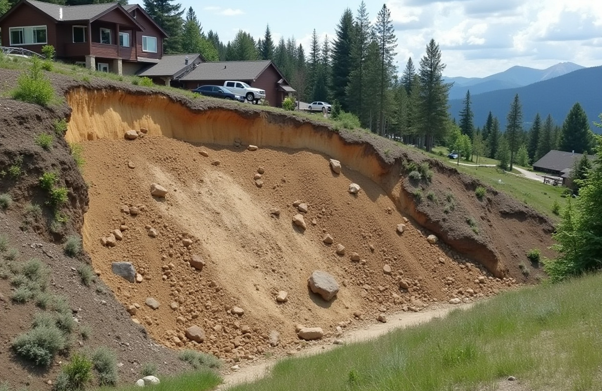
- Hazard Identification: Potential geohazards are identified based on the site investigation. These may include risks such as landslides, rockfalls, soil erosion, flooding, and seismic activity. The survey team uses historical data, geological maps, and remote sensing technology, such as drones and satellite imagery, to assess the likelihood of these hazards occurring.
- Risk Assessment: Once potential hazards are identified, a risk assessment is conducted to evaluate their severity and likelihood. This assessment considers factors like the hazard’s proximity to the site, its potential impact on infrastructure, and the frequency of such events in the area.
- Mapping and Reporting: The geohazard survey results are compiled into detailed maps and reports. These documents provide visual and descriptive information on the identified hazards, their locations, and the associated risks. The report also includes recommendations for mitigating these risks through design adjustments, construction techniques, or alternative site selection.
- Mitigation Strategies: Based on the findings, the survey report suggests mitigation strategies to reduce or manage the risks identified geohazards pose. These strategies may include slope stabilization, drainage improvements, erosion control measures, or the implementation of early warning systems.
When is a Geohazard Survey Needed?
A geohazard survey is typically required during the early stages of planning for any construction project, especially in areas known for their geological activity or challenging terrain. In BC, this includes projects in mountainous regions, coastal zones, and areas near fault lines. Regulatory agencies and insurance companies may also require a geohazard survey as part of the permitting process to ensure that the proposed development meets safety standards.
Benefits of Conducting a Geohazard Survey
- Safety: The foremost benefit of a geohazard survey is the enhanced safety it provides. By identifying potential hazards early, the survey helps prevent accidents, property damage, and loss of life.
- Cost Savings: Early identification of geohazards can prevent costly construction delays, repairs, and legal liabilities that could arise from unexpected geohazard events.
- Compliance: Conducting a geohazard survey ensures that your project complies with local regulations and guidelines, often requiring thorough risk assessments in geologically sensitive areas.
- Informed Decision-Making: A geohazard survey’s detailed insights empower stakeholders to make informed decisions about site selection, design, and construction methods, leading to more resilient and sustainable development.
Conclusion
At Westrek Geotechnical, we can provide a geohazard survey essential for any construction or development project in British Columbia. It provides the necessary insights to navigate the region’s complex and dynamic geological conditions, ensuring your project is built safely and sustainably. By understanding and mitigating the risks associated with geohazards, you can protect your investment and the well-being of those using the site.