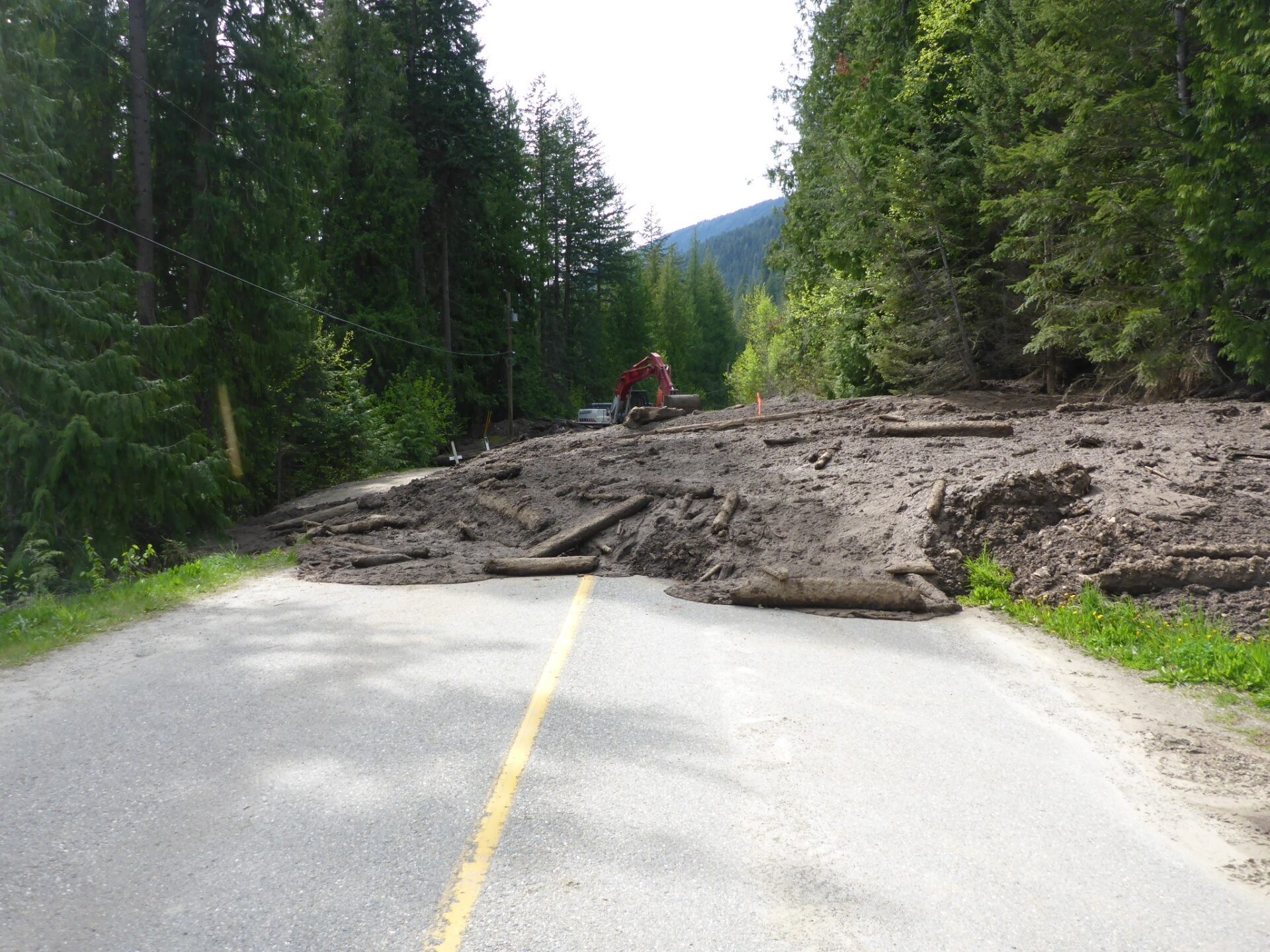
Geohazard Assessment & Mitigation Support
Our Geohazard Assessment & Mitigation Support services provide comprehensive evaluations to identify, assess, and mitigate risks associated with geological hazards, ensuring safer development and operational success for various industries.
Expert Geohazard and Disaster Mitigation Services
With a foundation in advanced technologies and methodologies, we deliver accurate, reliable data to support decision-making and risk management in development projects. As geohazard mitigation experts, we offer tailored solutions that address complex geological challenges to protect your investment.
Our Services
Our team of experts provides a full range of geohazard and geotechnical services, including:
- Geological and Engineering Assessments: Comprehensive site evaluations to assess geological hazards.
- Air Photo Interpretation & Remote Sensing: High-quality geospatial data collection.
- Qualitative & Quantitative Analysis: In-depth analytical methods to ensure precise risk assessments.
- Geotechnical & Geological Subsurface Investigations: Detailed subsurface investigations for accurate insight into geological conditions.
Ready to discuss how our geohazard experts can support your project? Contact us today to learn more about our services and how we can help you navigate geological risks with confidence.
Why Choose Us for Geohazard and Disaster Mitigation?
Expert-driven, technology-enhanced solutions for comprehensive geohazard risk management and mitigation.

Contact Us for Geohazard Assessment & Mitigation Support
Are you planning a project that requires professional geohazard and disaster mitigation services? Our experienced team is here to support your needs with expert-driven, technology-enhanced solutions. Contact us today to discuss how we can help secure your project with reliable geohazard assessments and mitigation planning.