In the world of geospatial data collection and analysis, photogrammetry and LIDAR (Light Detection and Ranging) are two powerful technologies used to create detailed maps and models of the Earth’s surface. Each method has unique strengths and applications, making it essential to understand which sensor best suits your specific project.
This article will explore the differences between photogrammetry and LIDAR and guide you in choosing the right tool for your application.
What is Photogrammetry?
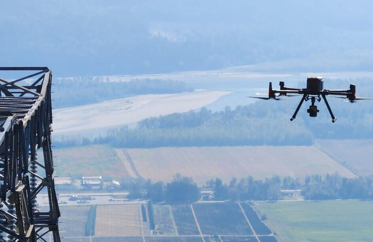
Photogrammetry is a technique that uses photographs to measure and map the environment. By capturing images from multiple angles, often with the help of UAVs (Unmanned Aerial Vehicles or drones), photogrammetry software can create detailed 2D maps and 3D models. The process relies on identifying common points in overlapping photos and triangulating these points to reconstruct the geometry of the photographed area.
Advantages of Photogrammetry:
- High-Resolution Imagery: Photogrammetry provides high-resolution, true-color images, making it ideal for applications where visual detail is crucial.
- Cost-Effective: Photogrammetry is generally less expensive than LIDAR, especially for projects where detailed 3D models are not required.
- Versatility: It can be used for various applications, from topographic mapping to architectural surveys.
Limitations of Photogrammetry:
- Dependence on Lighting Conditions: Photogrammetry requires good lighting conditions and is less effective in low-light or shadowed areas.
- Accuracy and Detail: While photogrammetry provides excellent visual detail, it may not achieve the same level of accuracy as LIDAR for certain measurements, particularly in densely vegetated areas.
What is LIDAR?
LIDAR, or Light Detection and Ranging, is a remote sensing technology that uses laser pulses to measure distances. By emitting thousands of laser pulses per second and measuring the time it takes for them to return after hitting an object, LIDAR can create highly accurate 3D models of the environment. LIDAR is often used in applications that require precise elevation data, such as terrain modelling, forestry, and infrastructure planning.
Advantages of LIDAR:
- High Accuracy: LIDAR provides exceptionally accurate measurements, making it ideal for projects that require precise elevation data.
- Penetration of Vegetation: LIDAR can penetrate through vegetation, providing accurate ground elevation data even in forested areas.
- Independence from Lighting Conditions: LIDAR is effective in all lighting conditions, including night-time operations.
Limitations of LIDAR:
- Higher Cost: LIDAR technology is generally more expensive than photogrammetry in terms of equipment and processing.
- Lack of Color Information: LIDAR captures geometric data but does not provide the true-color imagery that photogrammetry does.
Choosing the Right Sensor for Your Application
The choice between photogrammetry and LIDAR depends on the specific requirements of your project. Here’s how to determine which sensor is best suited for your needs:
1. Project Scale and Budget
- Photogrammetry: Ideal for smaller-scale projects with a limited budget. It provides good quality visual data at a lower cost.
- LIDAR: Better suited for large-scale projects where high accuracy is essential, such as infrastructure development, even though it comes at a higher cost.
2. Level of Detail and Accuracy Required
- Photogrammetry: Suitable for projects that require high-resolution imagery with moderate accuracy, such as architectural documentation or agricultural mapping.
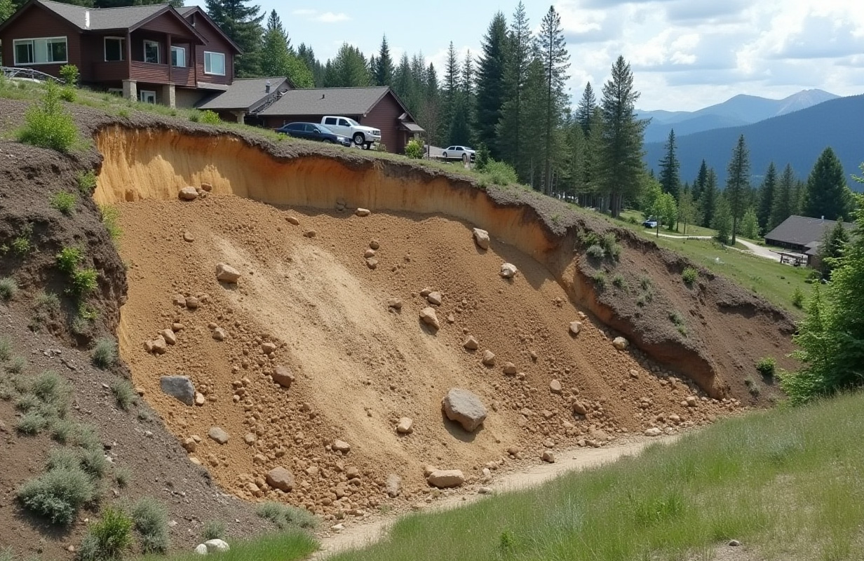
- LIDAR: Necessary for projects that require highly accurate 3D models and elevation data, such as topographic surveys, floodplain mapping, and forestry management.
3. Environmental Conditions
- Photogrammetry: Works best in environments with good lighting and minimal vegetation. It’s less effective in dense forests or areas with significant shadowing.
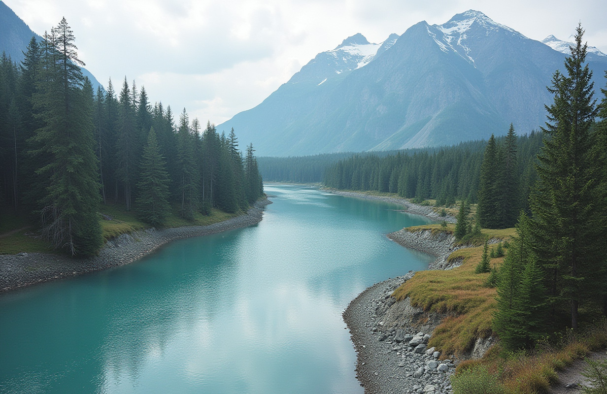
- LIDAR: Excels in challenging environments, such as heavily forested areas, rugged terrain, or during night-time operations. Its ability to penetrate vegetation makes it the preferred choice for forestry and terrain analysis.
4. Integration with Other Data
- Photogrammetry: Easily integrates with other visual data, making it ideal for projects that require combining aerial imagery with existing photographs or satellite images.
- LIDAR: Often used in conjunction with other sensors, such as cameras or GPS, to enhance data accuracy and create comprehensive models.
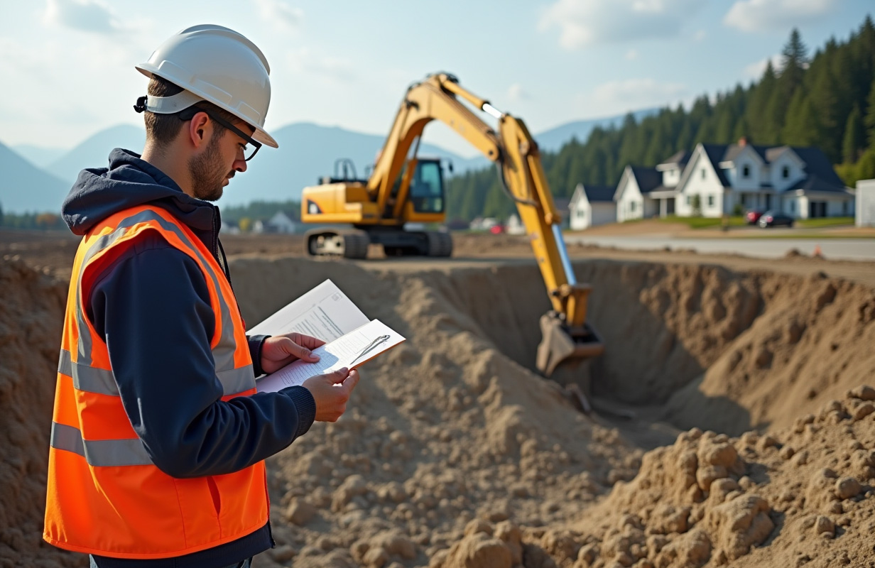
Choose Westrek Geotech for Your LIDAR and Photogrammetry Project
When selecting the right technology for your geospatial data needs, trust the expertise of Westrek Geotechnical Services Ltd. Our team of professionals is well-versed in both LIDAR and photogrammetry, ensuring that your project benefits from the most accurate and cost-effective solutions.
Whether you need high-precision terrain mapping or detailed visual imagery, we have the tools and experience to deliver outstanding results. Don’t leave your project to chance—partner with Westrek Geotech and gain the confidence to work with industry leaders. Contact us today to discuss your project and discover how our cutting-edge solutions can bring your vision to life.
Conclusion
Both photogrammetry and LIDAR offer unique advantages and are powerful tools in geospatial data collection. The key to choosing the suitable sensor lies in understanding your project’s specific needs—whether it’s the level of detail, accuracy, budget, or environmental conditions.
Choosing between photogrammetry and LIDAR is crucial for projects in British Columbia, where terrain and environmental factors can vary widely. If you’re unsure which technology is best for your application, consulting with experts like those at Westrek Geotechnical Services Ltd. can help you make an informed decision, ensuring that your project benefits from the most suitable geospatial data collection method.