Photogrammetry vs. LIDAR: What Sensor to Choose for a Given Application
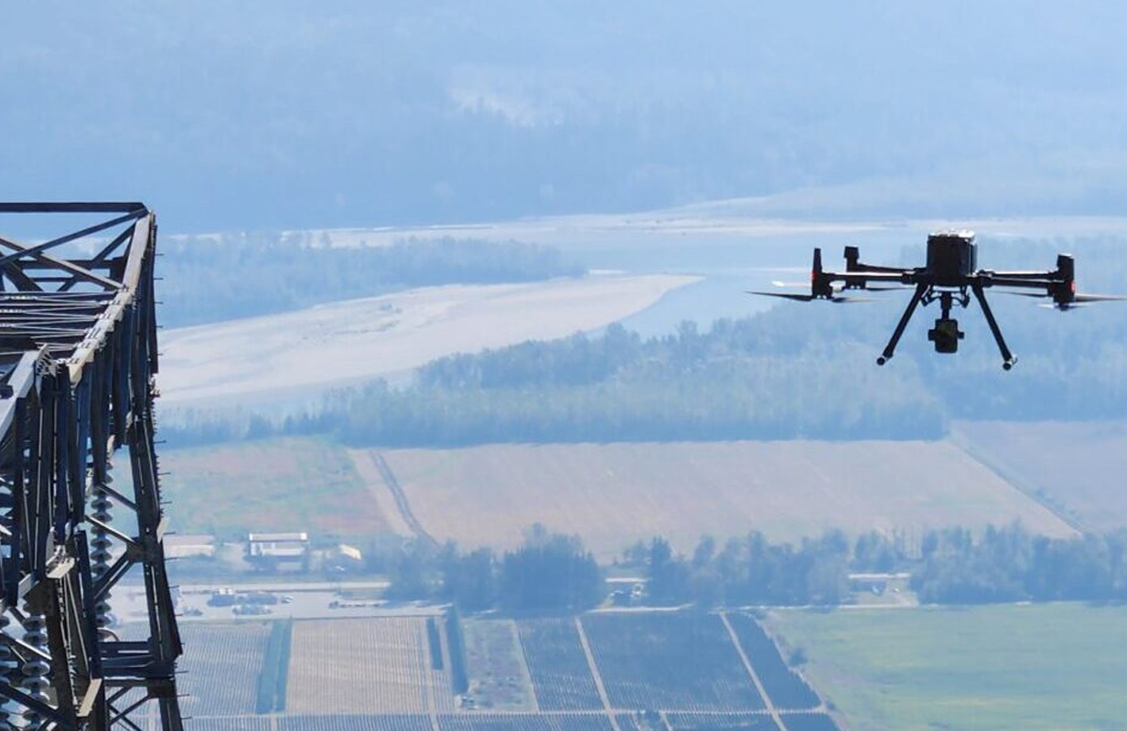
In the world of geospatial data collection and analysis, photogrammetry and LIDAR (Light Detection and Ranging) are two powerful technologies used to create detailed maps and models of the Earth’s surface. Each method has unique strengths and applications, making it essential to understand which sensor best suits your specific project. This article will explore the [...]
