Understanding the ground beneath your feet is crucial before embarking on any construction project.
A geotechnical report provides the essential data and insights needed to ensure that your project is built on a solid foundation, literally and figuratively.
Let’s explore what a geotechnical report is, when it’s required, and why it’s indispensable to safe and successful construction in British Columbia.
What is a Geotechnical Report?
A geotechnical report, or a geotechnical survey, is a comprehensive document that outlines the findings from a geotechnical investigation conducted on a specific site. This investigation involves analyzing soil, rock, groundwater, and other subsurface conditions to assess suitability for construction or development projects.
The report provides essential data and recommendations that guide engineers, architects, and builders in designing safe and stable structures. It includes details on soil composition, load-bearing capacity, potential geohazards, groundwater levels, and more.
When is a Geotechnical Analysis Report Required?
Geotechnical reporting and analysis is typically required in BC during the planning and design phases of construction projects, especially when the project involves:
- New Construction: A geotechnical analysis report is crucial for designing foundations that can safely support a structure, whether for residential, commercial, or industrial buildings.
- Infrastructure Projects: Roads, bridges, tunnels, and other infrastructure developments need a geotech report to ensure they are built on stable ground.
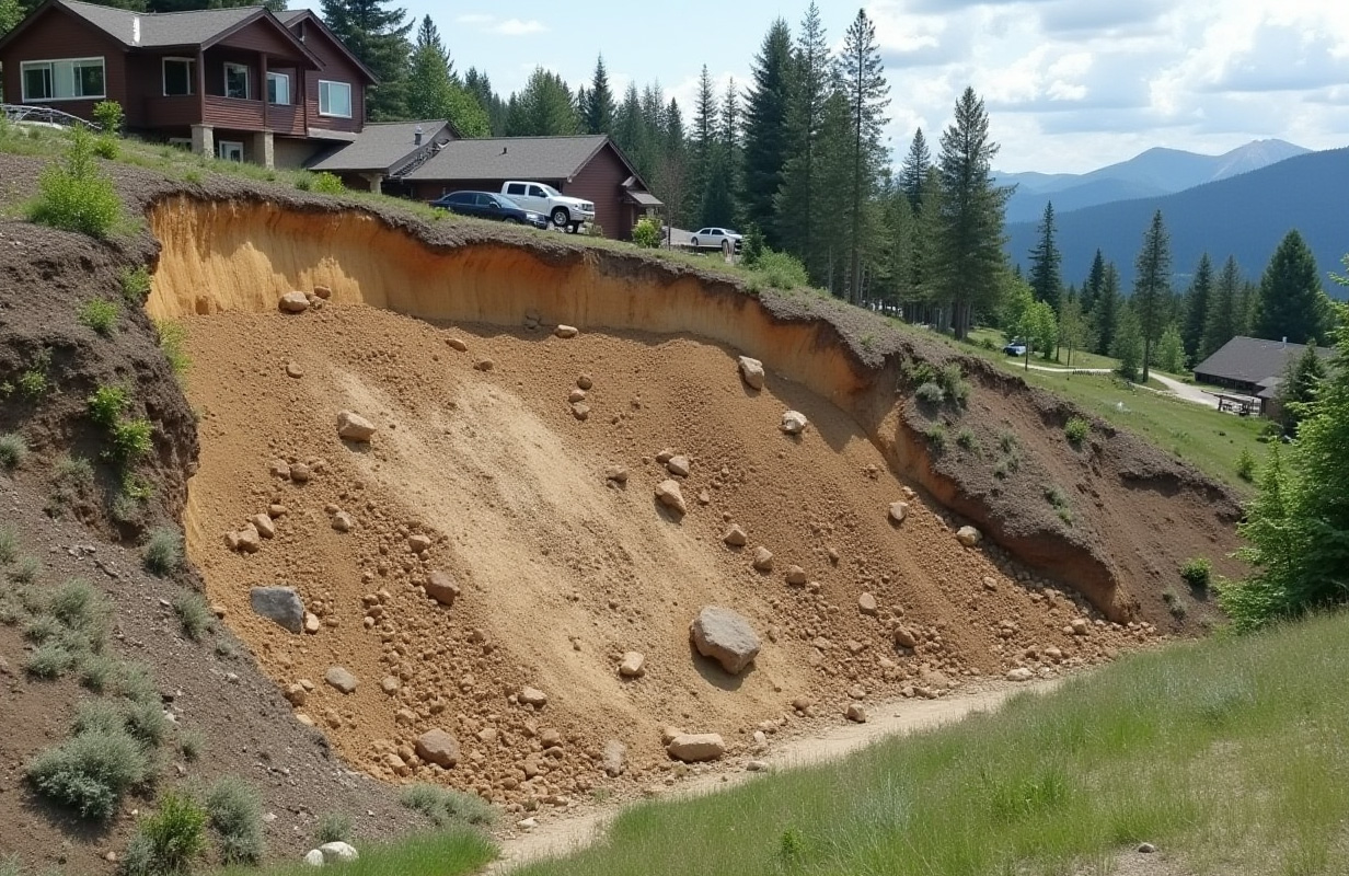
- Slope Stability Analysis: A geotechnical report is needed to assess the risk of landslides or slope failures in regions with hilly or mountainous terrain, like British Columbia.
- Seismic Risk Areas: The report helps design structures that can withstand seismic activity in areas prone to earthquakes.
- Permitting Requirements: Local building codes and regulations may require a geotechnical report as part of the permitting process to ensure that the proposed project meets safety standards.
Do You Need a Geotechnical Report?
Ensure the success and safety of your next project with reliable, expert geotechnical analysis. Our team provides thorough, regulation-compliant reports tailored to your site’s specific needs.
Types of Geotechnical Assessments Included in Reports
Geotechnical assessments and reports are essential components of construction and engineering projects, providing a foundation for safe and effective site development. Here are some of the most common types of reports:
Site Investigation Report
This report is usually the initial phase in a geotechnical assessment and includes:
- Desk Study: Reviews geological maps, historical data, and previous reports.
- Site Reconnaissance: Visual site inspection to identify surface features, drainage, and hazards.
- Subsurface Investigation: Details boreholes, test pits, and on-site testing.
Soil Classification Report
This report classifies the soil types present at the site, based on:
- Sieve analysis test results
- Atterberg limits
- Soil moisture content
- Specific gravity measurements
Foundation Design Report
This report offers guidance on the most suitable foundation type for the site, covering:
- Soil bearing capacity
- Settlement analysis
- Recommendations for foundation depth and type
Slope Stability Analysis
For sites with elevation changes, this report assesses the potential risk of landslides or slope failure and includes:
- Factor of safety calculations
- Recommendations for slope reinforcement if needed
Liquefaction Potential Report
In earthquake-prone areas, this report evaluates the risk of soil liquefaction, offering:
- Analysis of soil types prone to liquefaction
- Mitigation recommendations if necessary
Groundwater Assessment Report
This report provides insights into groundwater conditions, such as:
- Depth to the groundwater table
- Seasonal fluctuations
- Potential impacts on construction
Geotechnical Design Report
This comprehensive report synthesizes all gathered data, offering design recommendations for the project, including:
- Site conditions summary
- Foundation, earthwork, and drainage recommendations
- Key construction considerations
These reports are generally prepared by geotechnical engineers or engineering geologists and are based on field investigations, lab testing, and data analysis, tailored to project needs, site conditions, and regulatory requirements.
So, Do I Need a Geotechnical Report?
A geotechnical site investigation report is likely necessary if your project involves any form of construction, especially in areas with complex geological conditions like BC. Here are some common indicators that you might need one:
- Building a New Structure: If you’re planning to construct a new building, a geotechnical design report will help you understand the ground conditions and ensure that your foundation is designed appropriately.
- Major Renovations or Extensions: A geotechnical report is advisable if you’re adding to an existing structure, especially if it involves changes to the foundation or load-bearing elements.
- Uncertain Ground Conditions: A geotechnical ground investigation and report is essential to mitigate risks if the site has a history of ground movement, flooding, or other geotechnical issues.
- Regulatory Compliance: If local regulations or permitting authorities require it, you must obtain a geotech report before proceeding with your project.
How to Get a Geotechnical Report
Obtaining a geotechnical report involves several key steps:
- Hire a Qualified Geotechnical Engineer: The first step is to engage a reputable geotechnical engineering firm with experience in your region. They will assess the site and determine the scope of the investigation needed.
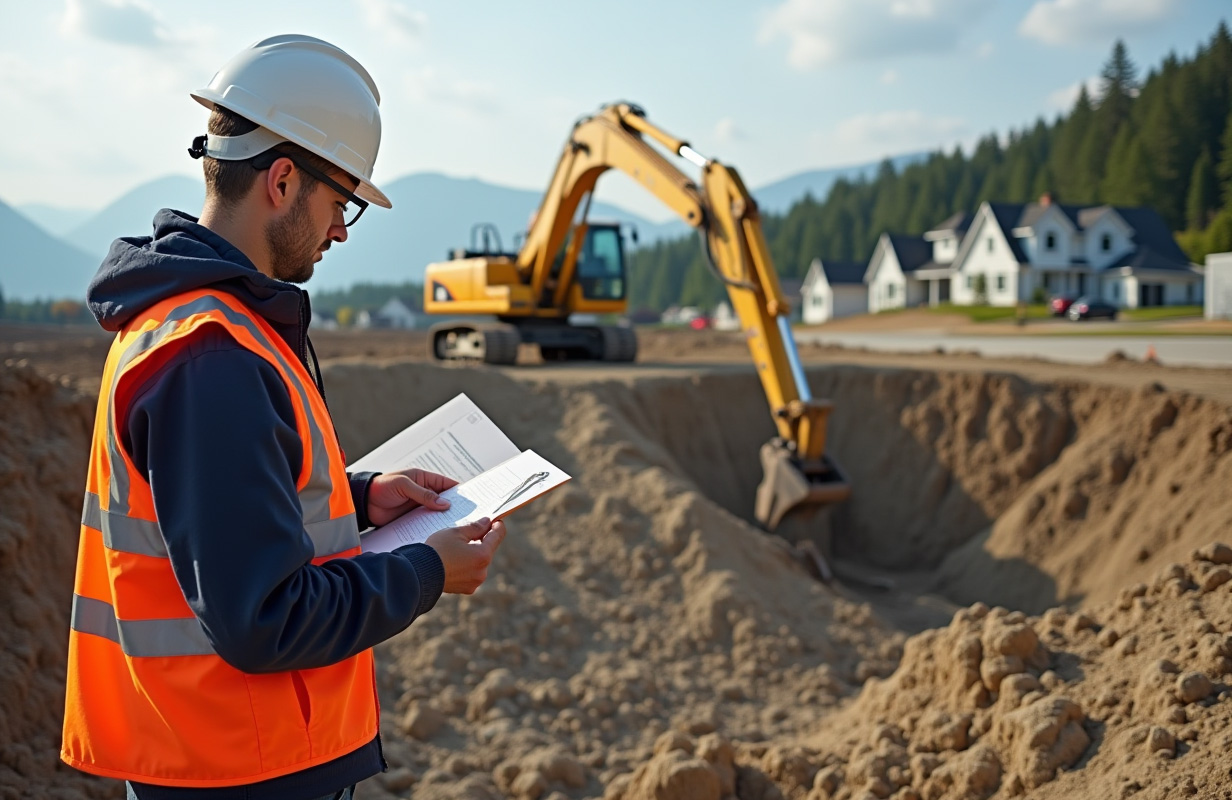
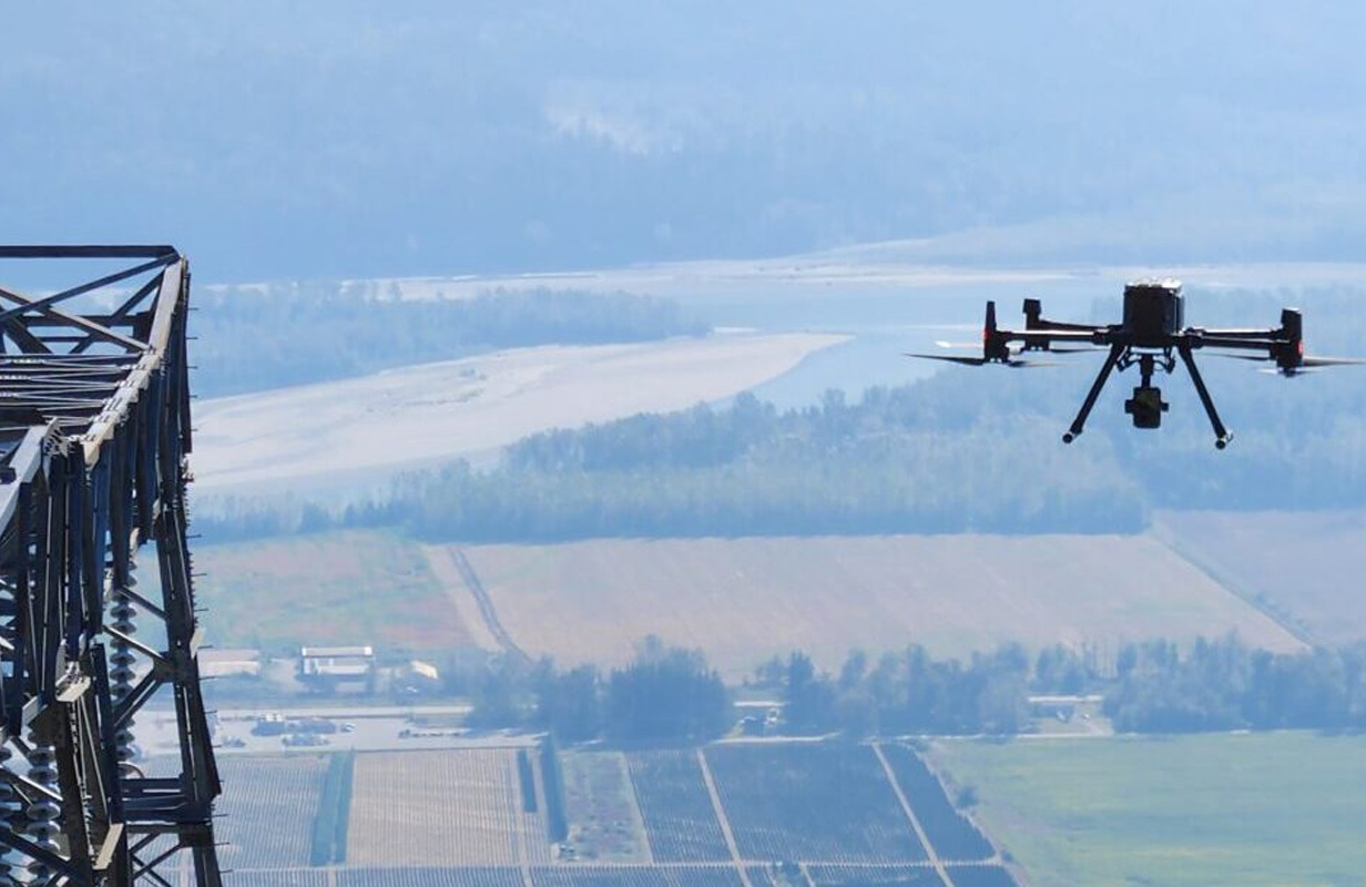
- Site Investigation: The geotechnical engineer will conduct a site investigation, including soil sampling, borehole drilling, and laboratory testing of soil samples. They may also use geophysical surveys or remote sensing techniques to gather data.
- Data Analysis and Reporting: After collecting the necessary data, the geotechnical engineer will analyze the findings and compile them into a detailed report. This report will include recommendations for foundation design, earthworks, drainage, and any necessary mitigation measures for identified geohazards.
- Review and Consultation: Once the report is completed, the engineer will review the findings with you, ensuring you understand the implications for your project and how to proceed safely.
Get in Touch for Geotech Services
Ensure the success and safety of your next project with reliable, expert geotechnical analysis. Select the button below and send us your project requirements, or call us directly.
How Long Is a Geotechnical Report Valid?
The validity of a geotechnical report depends on several factors, including changes to the site conditions and the nature of the project. Generally, a geotechnical report remains valid for 1 to 2 years, but this can vary based on:
- Changes in Site Conditions: If the site undergoes significant changes after the report is completed, such as excavation, erosion, or natural events like landslides or floods, the report may need to be updated.
- Regulatory Requirements: Some local regulations may specify the validity period of a geotechnical report. If your project is delayed beyond this period, you may need to commission a new report or update the existing one.
- Project Scope Changes: If the scope of your project changes significantly, such as altering the design or increasing the building size, the original geotechnical report may no longer be applicable, and a new or updated report may be required.
Conclusion
A geotechnical assessment report is an indispensable part of any construction project. It provides critical insights into the ground conditions and helps ensure that your project is safe, compliant, and built to last. Understanding when and why you need one, as well as how to obtain it and how long it remains valid, can help you navigate the complexities of construction with confidence.


