British Columbia (BC) is one of Canada’s most geologically diverse and beautiful regions, but this diversity also brings with it a significant risk of geohazards. Geohazards are natural events or processes that can cause widespread damage, and understanding the factors that make BC particularly vulnerable is crucial for effective risk management and mitigation.
Why is BC at Risk for Geohazards?
1. Seismic Activity
BC is located along the Pacific Ring of Fire, a region known for its high seismic activity due to the movement of tectonic plates. The province is at the convergence of the Pacific and North American plates, making it susceptible to earthquakes. Major fault lines, such as the Cascadia Subduction Zone, pose a significant threat, potentially triggering large-scale earthquakes and tsunamis.
2. Varied Topography
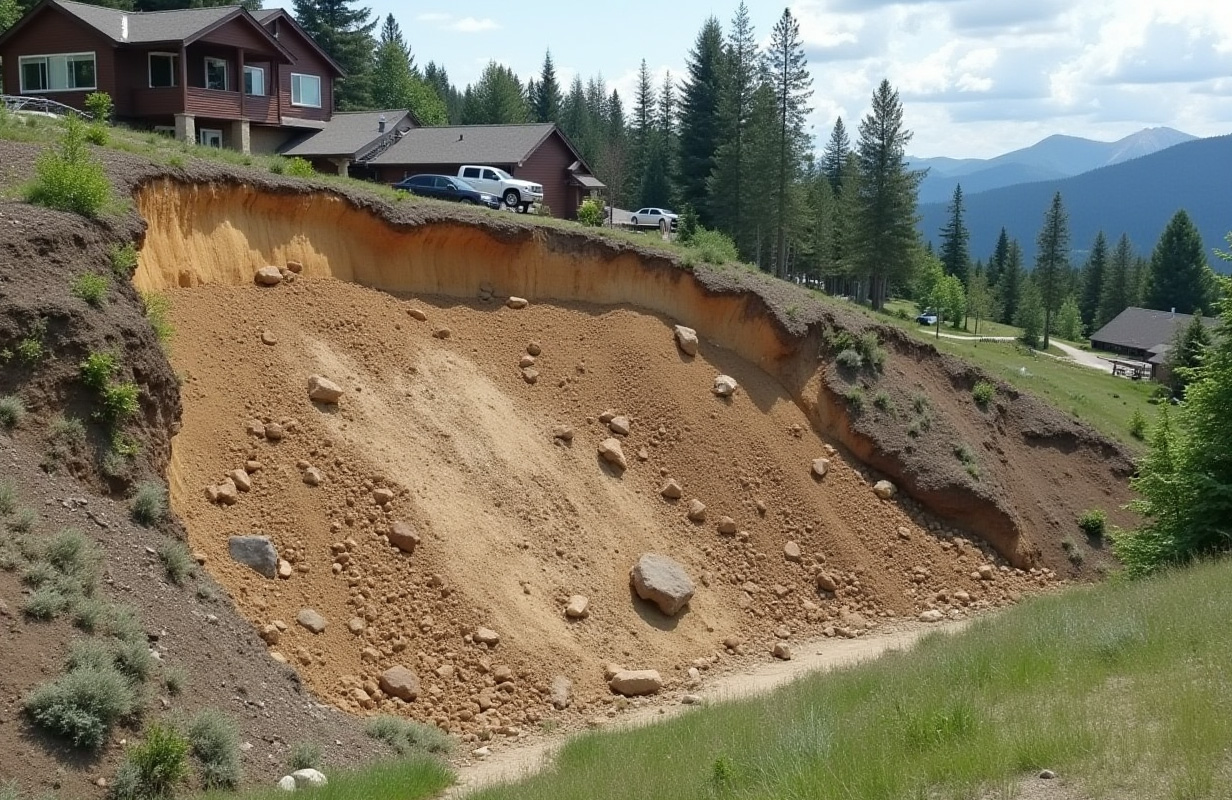
The diverse topography of BC, ranging from coastal plains to rugged mountains, contributes to various geohazards. Steep slopes and unstable terrain in mountainous regions increase the risk of landslides, especially during heavy rainfall or seismic events. Coastal areas, on the other hand, are vulnerable to flooding and tsunamis.
3. Climate and Weather Patterns
BC’s climate varies significantly across the province, with coastal regions experiencing heavy rainfall and interior regions facing more extreme temperature variations. Intense rain, particularly during the fall and winter months, can lead to soil saturation, increasing the likelihood of landslides and flooding. In colder areas, snowmelt in the spring can cause rapid runoff, further contributing to these hazards.
4. Glacial History and Legacy
Much of BC was shaped by glacial activity during the last Ice Age, leaving behind deposits of loose, unconsolidated materials like glacial till, sand, and gravel. These materials can be unstable, particularly when saturated with water, leading to a higher risk of landslides and slope failures. Additionally, the ongoing melting of glaciers due to climate change alters the landscape and increases the risk of outburst floods from glacial lakes.
5. River and Coastal Erosion
Erosion is a significant concern in BC, mainly along riverbanks and coastal areas. Rivers that carry heavy sediment loads can erode their banks, leading to slope instability and landslides. Coastal erosion, exacerbated by rising sea levels and increased storm intensity, can threaten infrastructure and communities located near the shoreline.
6. Human Activities
Human activities, such as deforestation, mining, urbanization, and road construction, can exacerbate the natural vulnerability of BC to geohazards. Removing vegetation destabilizes slopes, while construction can alter natural drainage patterns, increasing the risk of landslides and flooding. Extracting natural resources, such as oil, gas, and minerals, can induce seismic activity or cause subsidence.
7. Wildfires
BC’s forests are increasingly at risk of wildfires due to hotter, drier conditions brought on by climate change. Wildfires can strip the land of vegetation, leaving slopes more prone to erosion and landslides. The tree cover loss also reduces the land’s ability to absorb water, further heightening the risk of flooding in the aftermath of a fire.
Are you Subject to Any of These Geohazards?
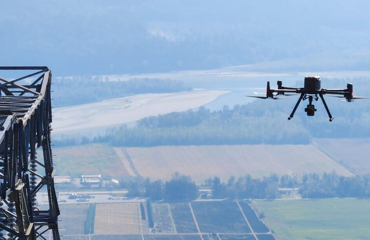
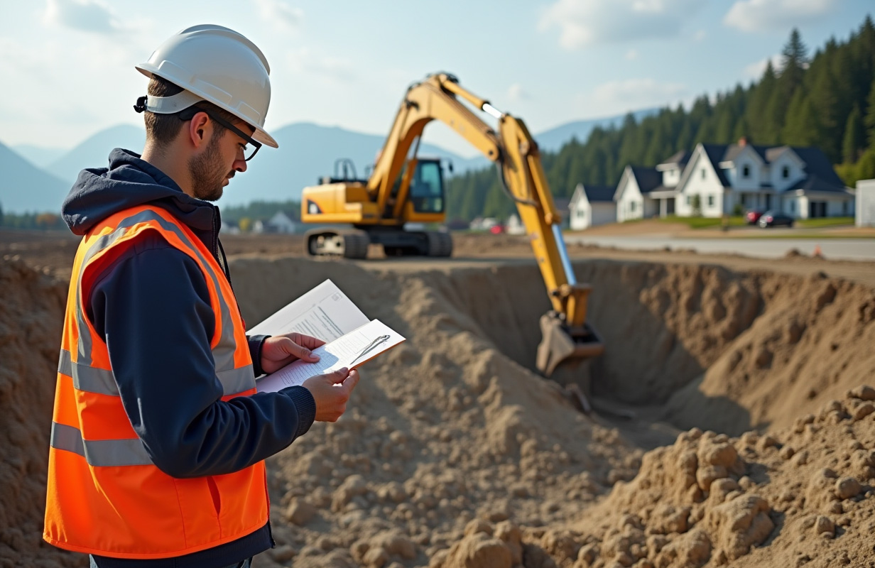
Whether you’re planning a new construction project, managing an existing property, or overseeing community infrastructure, it’s vital to determine whether these natural risks could impact your site. The best way to assess and mitigate these risks is through a comprehensive geohazard survey and testing.
A geohazard survey is your first line of defence against the potentially devastating effects of natural hazards. This specialized assessment involves a thorough investigation of your site to identify and evaluate the specific geohazards that could pose a threat. By understanding these risks early on, you can make informed decisions about site selection, design, and construction that prioritize safety and sustainability.
Conclusion
British Columbia’s unique geological, climatic, and human combination makes it particularly susceptible to various geohazards. Understanding these vulnerabilities is essential for effective planning, risk management, and implementing mitigation strategies to protect communities and infrastructure across the province.