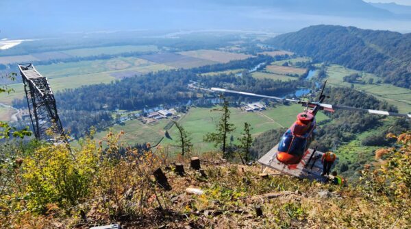
UAV LiDAR & Photogrammetry Services
At Westrek Geotechnical Services Ltd., we provide cutting-edge UAV LiDAR and photogrammetry services that streamline precise, efficient, and cost-effective data collection and analysis across various industries in BC and beyond.
Using state-of-the-art LiDAR sensors and Real-Time Kinematic (RTK) units, we deliver high-quality data and actionable insights for diverse applications, making complex geospatial projects simpler and more accessible. Whether you’re in need of drone surveys in BC, aerial LiDAR mapping, or custom UAV photogrammetry services, our team has you covered.
Our UAV and LiDAR Services
We offer a comprehensive range of UAV LiDAR and photogrammetry services, ensuring precise and efficient data collection tailored to your project’s needs. Contact us today to see how we can support your project.
Why Choose Our UAV LiDAR and Photogrammetry Services?
Elevate your project with advanced UAV photogrammetry and LiDAR services from industry leaders.
